
We continue the series on walking Buffalo, from the intrepid couple who walked every day—no matter the weather—in the first 30 months of Covid. They think (without being systematic) they walked every street in Buffalo, and many in other cities and towns, taking some 20,000 photos, some of which are shared in this series. While not itineraries, we hope to encourage others to “walk the walk,” to see, observe and appreciate Buffalo—and beyond. William Graebner and Dianne Bennett are also 5 Cent Cine’s film critics, here.
Today’s Photo-Essay: Finding Scajaquada Creek
Finding Scajaquada Creek? Not so hard, if your search covers only the west-of-Main Street portion of the creek. Not so easy on the East Side, where the creek hasn’t been visible for almost a century. We’ll begin, briefly, with the easy part.
West of Elmwood Avenue, there’s a path along the creek. It’ll take you by McKinley High School (there’s a nice mural there), Assumption of the Blessed Virgin Mary Church, Wegmans and (across Grant Street) Tops Market, then under the Scajaquada Expressway (not so “express” any more, and the highway above has turned the creek into a set of ugly columns), along the edge of the vast space that used to be Tee to Green and, just beyond Niagara Street, the creek’s mouth, parts of it buried under concrete ramps (but fascinating in an alternative way).
East of Elmwood, the creek bypasses Hoyt Lake and ripples through Forest Lawn Cemetery. It’s lovely along that stretch, especially with a coat of snow on the ground.
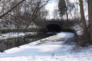
And then, still charming, it disappears under Main Street.
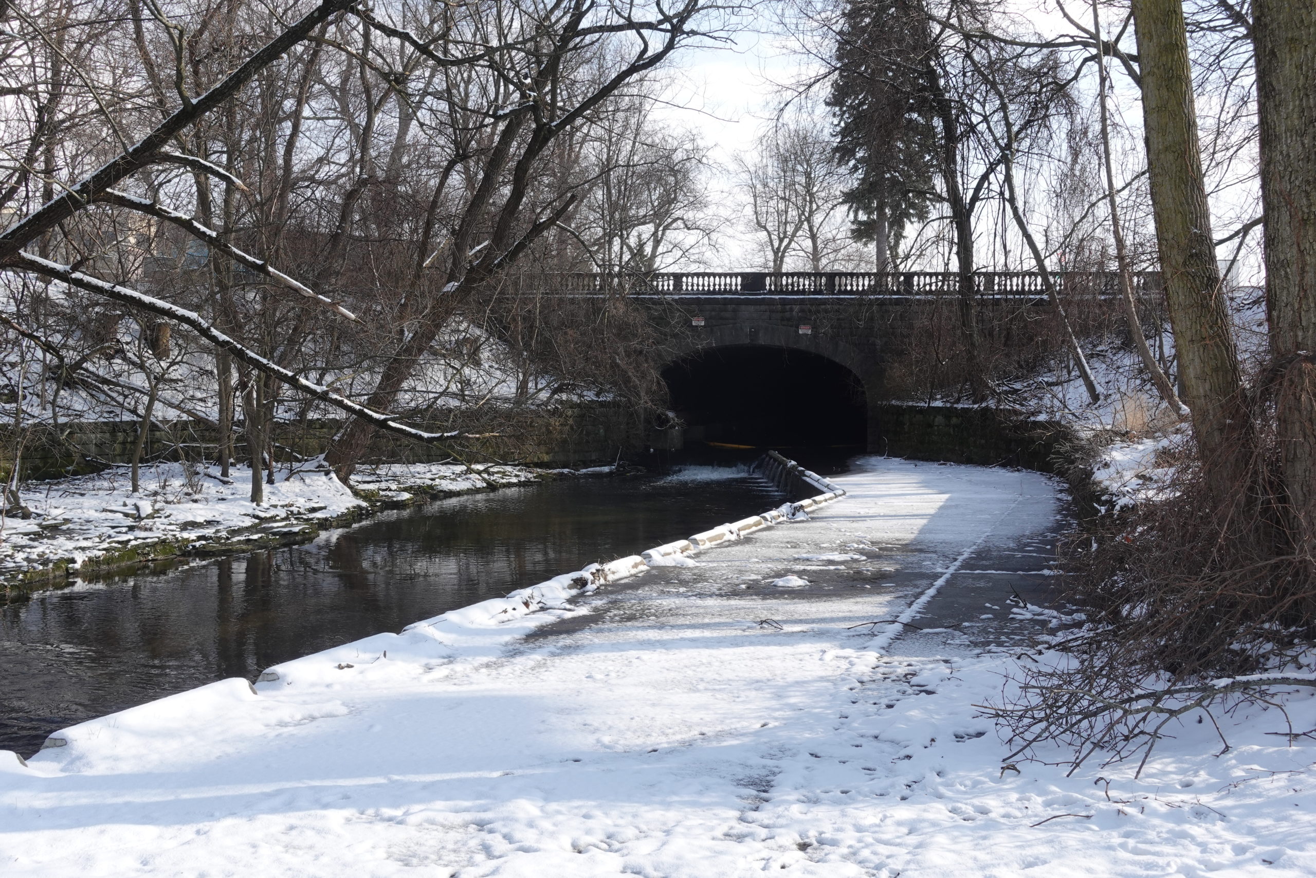
And that’s that. You can cross Main Street, but there’s no creek. Where does the water that flows so elegantly through Forest Lawn come from? What happened to Scajaquada Creek?
In the mid-1920s it was converted into a sewer/drain—an enormous one, big enough to walk in—for 3 ½ miles of its length, from Main Street on the west to Ridge Road (and Villa Maria College) on the east. Still further east, from Ridge Road northeast, it’s once again above ground, though it’s been straightened and channelized—more like a drainage ditch than a creek.
That 3 ½ mile portion of the “creek” from Main Street to Ridge Road may be underground, but with a little sleuthing it can be followed. In some places you wouldn’t know it’s there. In others, the creek’s curves and turns are revealed on the surface of the land.
It’s a 2-day adventure. Maybe 3. (More on the history of the creek/sewer at the end of this photo-essay.)
The fun begins just east of Main Street, as the underground creek/sewer/drain curves south, around the NFTA Metro station (and likely under what was not long ago a parking ramp), and crosses East Delavan before Jefferson Avenue. Then, in Hamlin Park, just south of Beverly Road at Jefferson, a pathway, curving right as you walk it, suggests the creek/sewer below.
When the pathway reaches the intersection of Florida Street and Elton Place, the creek turns almost directly south, through a vacant lot that ends in the back of a church building, then around the corner (left, then right), to the east of the church complex.
From this point, the creek runs straight east, in the back yards of homes on Florida Street and Northland Avenue. It’s not accessible there, so we took the sidewalk east on Northland, asking a resident if she knew the creek ran behind her house (she said she did). We continued on Northland past Wohlers Avenue, where the creek “reemerges” at a playground on the north side of Northland, then crosses to the south, following Donaldson Road, before turning east at the circle and heading toward the pedestrian bridge over the Kensington Expressway.
Once over the bridge, there’s another revealing stretch straight ahead, as the creek curves right (south.)
The creek then turns east, crossing Fillmore, then Winchester Ave. The creek can be “felt” as it meanders through a park between Rickert and Fillmore Avenues:
Beyond Fillmore and Winchester, locating the creek’s route becomes almost impossible, because the area is covered by industrial structures. We poked around in the back yards of some of the smaller businesses (private property) on the north side of East Ferry. But the only place where one can really “see” the creek is just west of Grider Street, where it goes under an elevated rail line.
Just beyond Grider, and one block north of East Ferry, the creek runs straight east, following….Scajaquada Street (!) for 9 blocks before meeting Colorado Avenue. The photo inset is of the intersection of Scajaquada Street and Kilhoffer Street, in 1923, during the construction of the sewer. The house still exists.
At Colorado, the creek goes (used to go) under a railroad track, now abandoned. One can walk over it—there’s a minimal path through some brush–to the continuation of Scajaquada Street, which ends at Bailey Avenue.
Dianne ahead, on the trail over the tracks. Not as intimidating as it looks
From Bailey, the creek follows Kerns Avenue, just a few feet to the south. A few blocks ahead, Kerns curves south—the creek beneath the curve—then crosses Genesee Street before entering Schiller Park (the actual park, rather than the jurisdiction).
The creek exits the park off Sprenger Street at a visible ellipse, then heads straight east through Villa Maria College. From the ellipse, head for the kiosk. There are some sewer covers that mark the creek’s location.
And beyond: Ridge Road and—voila’—Scajaquada Creek, emerging from the depths.
Following the channelized creek, northeast, in Cheektowaga. Dianne is in pink, not far from where we saw a fox.
The history of the Scajaquada Creek drain/sewer remains somewhat obscure. The creek has its origins in Lancaster and runs 13 miles into the Black Rock Canal (and the Niagara River). By 1920, and perhaps much earlier, the creek had become a “public nuisance,” as one source put it, heavily polluted by sewage, industrial waste and dumping, and subject to upstream flooding. Between 1923 and 1928, a significant portion of the creek, from Ridge Road on the east to Forest Lawn cemetery on the west, was converted into a drain/sewer, 14 feet high and 28 to 33 feet wide—a storm overflow conduit that was linked to other drains.
Although this solution likely solved the flooding problem, it did not solve the problems caused by sewage and industrial waste, which continued to flow through the new drain and be discharged into the Niagara River. Between 1966 and 1982, the Scajaquada Tunnel Interceptor was bored along the entire length of the drain and beyond (roughly on an east/west line along or near Lafayette Avenue), to the Bird Island plant, where the effluent was treated before discharge into the river. A 2014 article in “Investigative Post” contends that what remains of the visible creek—from Forest Lawn to the Niagara River—is a “combined sewer,” which continues to be polluted by untreated sewage and industrial waste during rain and snow melt overflows.
How to Take a Walk in Buffalo – Look Up! Roofs and Roofers
How to Take a Walk in Buffalo – Buffalo’s Mini-Marts
How to Take a Walk in Buffalo – Remembering 9/11
How to Take a Walk in Buffalo – Street Humor
How to Take a Walk in Buffalo – The Yard as Spectacle
How to Take a Walk in Buffalo – Beware of (the) Dog
How to Take a Walk in Buffalo — Halloween
How to Take a Walk in Buffalo: Little-Known Trails and Paths
How to Take a Walk in Buffalo: Church Board Advice
How to Take a Walk—in Buffalo: Coping with Covid
How to Take a Walk—in Buffalo: Planters
How to Take a Walk—in Buffalo: Christmas Tidings
How to Take a Walk—in Buffalo: Murals… Off-the-Beaten Path
© William Graebner
The post How to Take a Walk—in Buffalo, and Beyond: <strong>Finding Scajaquada Creek</strong> appeared first on Buffalo Rising.